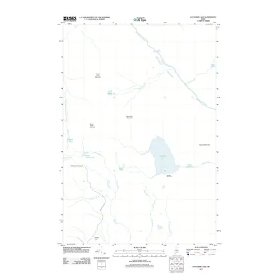
2011 Map of Katahdin Lake
USGS Topo · Published 2011About this map
North Turner Mountain, South Turner Mountain, and East Turner Mountain dominate this highland terrain within the Maine wilderness. The landscape is defined by its complex hydrography, where the Wassataquoik Stream and its south branch meander through the northern reaches, while the expansive Katahdin Lake serves as a central landmark. The presence of the Katahdin Lake Camps on the southern shore and the Roaring Brook Campground to the west suggests a long-standing tradition of backcountry recreation and seasonal residency in this remote part of Piscataquis County.
Find a feature on this map
27 named features on this map. Tap any name to fly to it.
Don’t see what you’re looking for? This feature index may not catch every label — zoom into the map to look around manually.
Map Details
Editions of this 2011 Katahdin Lake Map
This is the sole edition of this map. No revisions or reprints were ever made.
Other maps of this area

1927 · Katahdin
USGS Topo · 1:48,000

1930 · Katahdin
USGS Topo · 1:62,500

1949 · Katahdin
USGS Topo · 1:62,500

1953 · Stacyville
USGS Topo · 1:62,500

1954 · Shin Pond
USGS Topo · 1:62,500

1954 · Presque Isle
USGS Topo · 1:250,000

1954 · Millinocket
USGS Topo · 1:250,000

1955 · Traveler Mountain
USGS Topo · 1:62,500

1958 · Presque Isle
USGS Topo · 1:250,000

1958 · Millinocket
USGS Topo · 1:250,000