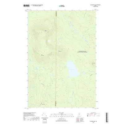
2018 Map of Katahdin Lake
USGS Topo · Published 2018About this map
Katahdin Woods and Waters National Monument dominates this area of Piscataquis County, encompassing a dramatic topography defined by the Turner Mountains. The massifs of North Turner Mtn, South Turner Mtn, and East Turner Mtn rise sharply above a complex network of glacial ponds and drainages. At the heart of the landscape lies Katahdin Lake, fed by S Turner Brook and drained by Katahdin Brook. The map reveals a transition between high summits and lower riparian zones where Wassataquoik Stream and Sandy Stream carve through the terrain. The presence of Windey Pitch and established routes like Roaring Brook Rd and Hauling Road 1 indicates the historical and modern access points for forestry and conservation efforts in this northern Maine wilderness.
Find a feature on this map
29 named features on this map. Tap any name to fly to it.
Don’t see what you’re looking for? This feature index may not catch every label — zoom into the map to look around manually.
Map Details
Editions of this 2018 Katahdin Lake Map
This is the sole edition of this map. No revisions or reprints were ever made.
Other maps of this area

1927 · Katahdin
USGS Topo · 1:48,000

1930 · Katahdin
USGS Topo · 1:62,500

1949 · Katahdin
USGS Topo · 1:62,500

1953 · Stacyville
USGS Topo · 1:62,500

1954 · Shin Pond
USGS Topo · 1:62,500

1954 · Presque Isle
USGS Topo · 1:250,000

1954 · Millinocket
USGS Topo · 1:250,000

1955 · Traveler Mountain
USGS Topo · 1:62,500

1958 · Presque Isle
USGS Topo · 1:250,000

1958 · Millinocket
USGS Topo · 1:250,000