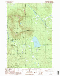
1988 Map of Katahdin Lake
USGS Topo · Published 1988About this map
Baxter State Park dominates this Maine landscape, where the peaks of the Turner Range rise sharply between the waters of Katahdin Lake and the Wassataquoik Stream. This 1988 provisional edition captures the remote character of the North Woods, specifically highlighting the transition across the Piscataquis and Penobscot county line. The map identifies key backcountry access points such as Katahdin Lake Camps and the Avalanche Field staging area.
Find a feature on this map
33 named features on this map. Tap any name to fly to it.
Don’t see what you’re looking for? This feature index may not catch every label — zoom into the map to look around manually.
Map Details
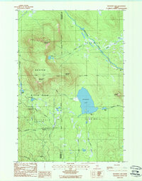
Editions of this 1988 Katahdin Lake Map
2 editions found
Other maps of this area

1927 · Katahdin
USGS Topo · 1:48,000

1930 · Katahdin
USGS Topo · 1:62,500

1949 · Katahdin
USGS Topo · 1:62,500

1953 · Stacyville
USGS Topo · 1:62,500

1954 · Shin Pond
USGS Topo · 1:62,500

1954 · Presque Isle
USGS Topo · 1:250,000

1954 · Millinocket
USGS Topo · 1:250,000

1955 · Traveler Mountain
USGS Topo · 1:62,500

1958 · Presque Isle
USGS Topo · 1:250,000

1958 · Millinocket
USGS Topo · 1:250,000