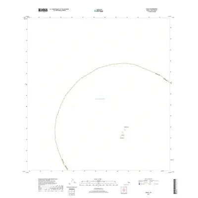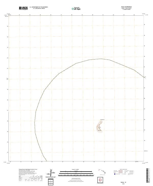
2013 Map of Kaula
USGS Topo · Published 2013About this map
Ka‘ula island rises from the deep waters of the Pacific Ocean in this 2013 U.S. Geological Survey representation. This small, crescent-shaped volcanic remnant, situated southwest of the main Hawaiian Islands, is characterized by its distinct high points and sharp coastal features. The topographic data captures the specific elevation peaks of Kahālauola and Manohua, providing a precise look at the island's morphology at the start of the 21st century. As a remote landform in Kauai County, the map emphasizes the isolation and physical structure of this uninhabited islet, which has long served as a vital landmark for Pacific navigation and as a significant site for seabird nesting.
Find a feature on this map
4 named features on this map. Tap any name to fly to it.
Don’t see what you’re looking for? This feature index may not catch every label — zoom into the map to look around manually.
Map Details
Editions of this 2013 Kaula Map
This is the sole edition of this map. No revisions or reprints were ever made.