2024 Map of Kaula
USGS Topo · Published 2024About this map
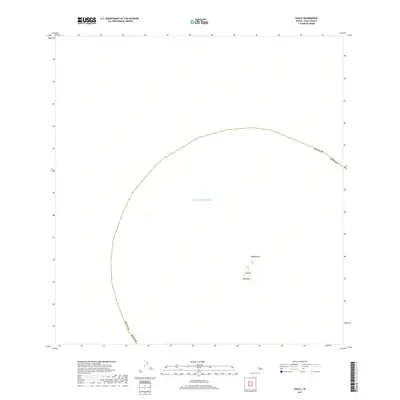
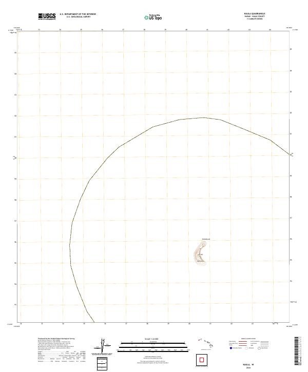
Ka‘ula rises from the Pacific in this 2024 survey, a small volcanic island located southwest of Kauai. The isolated terrain is characterized by its steep, crescent-shaped ridge, with the highest point marked at Kahālauola. At the southern end of the landmass lies Manohua, anchoring the edge of this solitary outcrop. Because the map represents a contemporary 1:24,000 scale survey, it provides precise topographic contours of the island's unique geological structure, which stands as a lone landmark amidst the surrounding waters of Kauai County. The absence of roads or human settlements reflects the island's status as a remote natural feature, where the focus remains entirely on the preservation of its physical geography.
Find a feature on this map
3 named features on this map. Tap any name to fly to it.
Don’t see what you’re looking for? This feature index may not catch every label — zoom into the map to look around manually.
Map Details
Editions of this 2024 Kaula Map
This is the sole edition of this map. No revisions or reprints were ever made.