2017 Map of Kaula
USGS Topo · Published 2017About this map
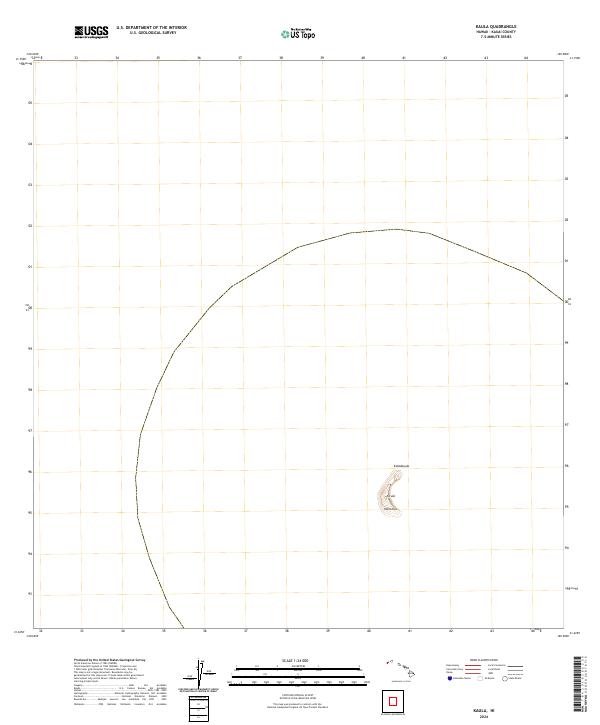
Ka‘ula island rises from the Pacific Ocean as a solitary, crescent-shaped volcanic remnant in the leeward waters of the Hawaiian archipelago. This survey delineates the stark topography of the offshore islet, which is defined by three primary named heights: Kahālauola, Ka‘ula, and Mañohua. Located within Kauai County, the landmass is isolated within a vast expanse of open water, represented here with precise contouring that reveals its steep coastal cliffs and narrow ridge. The cartography focuses exclusively on the natural landform and the administrative boundary of the State of Hawaii, offering a clear view of this remote geological feature without the influence of modern infrastructure or development.
Find a feature on this map
5 named features on this map. Tap any name to fly to it.
Don’t see what you’re looking for? This feature index may not catch every label — zoom into the map to look around manually.
Map Details
Editions of this 2017 Kaula Map
This is the sole edition of this map. No revisions or reprints were ever made.