
1952 Map of Kaunakakai
USGS Topo · Published 1954About this map
Kalaupapa Settlement sits prominently on its northern peninsula, isolated by the towering cliffs of the Molokai Forest Reserve. This mid-century survey captures the distinct landscape of Molokai, where the geography is defined by a series of ancient volcanic features like Kauhakō Crater and dozens of "puu" or hills, such as Puu Luahine and Puu Oahu. The coastal settlement of Kaunakakai serves as the primary maritime hub, anchored by its harbor and surrounded by traditional Hawaiian coastal engineering, including the Alii Fishpond and Kalokoeli Fishpond.
Find a feature on this map
69 named features on this map. Tap any name to fly to it.
Don’t see what you’re looking for? This feature index may not catch every label — zoom into the map to look around manually.
Map Details
Editions of this 1952 Kaunakakai Map
This is the sole edition of this map. No revisions or reprints were ever made.
Other maps of this area

1952 · Molokai Airport
USGS Topo · 1:24,000

1952 · Kamalo
USGS Topo · 1:24,000

1954 · Maui
USGS Topo · 1:250,000

1966 · Maui
USGS Topo · 1:250,000

1967 · Kaunakakai
USGS Topo · 1:24,000
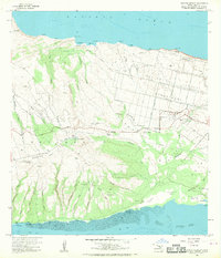
1968 · Molokai Airport
USGS Topo · 1:24,000
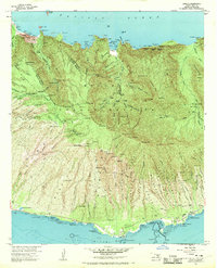
1968 · Kamalo
USGS Topo · 1:24,000

1974 · Maui
USGS Topo · 1:250,000
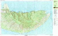
1983 · Molokai East
USGS Topo · 1:25,000
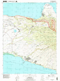
1993 · Kaunakakai
USGS Topo · 1:24,000