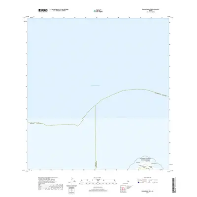
2017 Map of Kaunakakai OE N
USGS Topo · Published 2017About this map
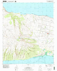
Kalaupapa National Historical Park dominates the southern coastal fringe of this marine-focused survey, showcasing the dramatic northern coastline of Moloka'i. The terrain transitions sharply from the deep waters of the Pacific Ocean to the landforms of the Kalaupapa Peninsula, where landmarks like Kahi'u Point and Laeho'olehua define the peninsula's northern reach. This area is characterized by its isolation and its status as a protected cultural and historical site, with the Kalaupapa Airport providing a critical link to the rest of the islands.
Find a feature on this map
12 named features on this map. Tap any name to fly to it.
Don’t see what you’re looking for? This feature index may not catch every label — zoom into the map to look around manually.
Map Details
Editions of this 2017 Kaunakakai OE N Map
This is the sole edition of this map. No revisions or reprints were ever made.
Other maps of this area

1952 · Molokai Airport
USGS Topo · 1:24,000

1952 · Kaunakakai
USGS Topo · 1:24,000

1954 · Maui
USGS Topo · 1:250,000

1966 · Maui
USGS Topo · 1:250,000

1967 · Kaunakakai
USGS Topo · 1:24,000
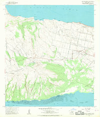
1968 · Molokai Airport
USGS Topo · 1:24,000

1974 · Maui
USGS Topo · 1:250,000
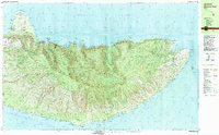
1983 · Molokai East
USGS Topo · 1:25,000
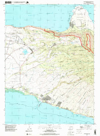
1993 · Kaunakakai
USGS Topo · 1:24,000
1993 · Molokai Airport
USGS Topo · 1:24,000