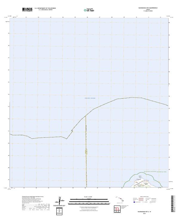
2024 Map of Kaunakakai OE N
USGS Topo · Published 2024About this map
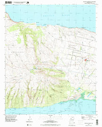
Kalaupapa National Historical Park anchors the southern edge of this maritime-focused survey, protecting the northern peninsula of Molokai where it meets the vast Pacific Ocean. This isolated coastal stretch is defined by prominent geographical landmarks such as Kahi'u Point and the sands of Ho'olehua Beach. The map illustrates the specific boundary between Maui County and Kalawao County, a distinction of significant administrative importance in Hawaiian history. Local infrastructure is minimal but vital, represented by the Kalaupapa Airport and the small area of Ki'ikolu, serving as a record of the specialized transportation and settlement patterns required for this peninsula's unique community.
Find a feature on this map
10 named features on this map. Tap any name to fly to it.
Don’t see what you’re looking for? This feature index may not catch every label — zoom into the map to look around manually.
Map Details
Editions of this 2024 Kaunakakai OE N Map
This is the sole edition of this map. No revisions or reprints were ever made.
Other maps of this area

1952 · Molokai Airport
USGS Topo · 1:24,000

1952 · Kaunakakai
USGS Topo · 1:24,000

1954 · Maui
USGS Topo · 1:250,000

1966 · Maui
USGS Topo · 1:250,000

1967 · Kaunakakai
USGS Topo · 1:24,000
1968 · Molokai Airport
USGS Topo · 1:24,000

1974 · Maui
USGS Topo · 1:250,000
1983 · Molokai East
USGS Topo · 1:25,000
1993 · Kaunakakai
USGS Topo · 1:24,000
1993 · Molokai Airport
USGS Topo · 1:24,000