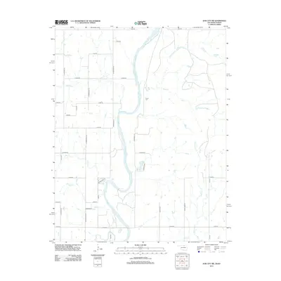
2012 Map of Kaw City NW
USGS Topo · Published 2012About this map
The Arkansas River winds southward through this rural landscape, forming a natural boundary that defines the local geography. In the south, the river widens significantly into the waters of Kaw Lake, a prominent feature that reshaped the basin's hydrology. The surrounding terrain is a network of named drainages including Chilocco Cr, Osage Cr, and Sweetwater Cr, which feed the river system across the Oklahoma-Kansas borderlands.
Find a feature on this map
38 named features on this map. Tap any name to fly to it.
Don’t see what you’re looking for? This feature index may not catch every label — zoom into the map to look around manually.
Map Details
Editions of this 2012 Kaw City NW Map
This is the sole edition of this map. No revisions or reprints were ever made.
Other maps of this area

1889 · Burden
USGS Topo · 1:125,000

1890 · Wellington
USGS Topo · 1:125,000

1935 · Kaw
USGS Topo · 1:62,500

1955 · Wichita
USGS Topo · 1:250,000

1955 · Enid
USGS Topo · 1:250,000

1958 · Enid
USGS Topo · 1:250,000

1958 · Wichita
USGS Topo · 1:250,000

1963 · Uncas
USGS Topo · 1:24,000

1963 · Kaw City NW
USGS Topo · 1:24,000

1964 · Kaw City
USGS Topo · 1:24,000