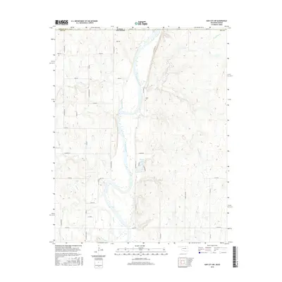
2016 Map of Kaw City NW
USGS Topo · Published 2016About this map
Kaw Lake dominates the southern reaches of this landscape along the border of Kay County, Oklahoma, and Kansas. The Arkansas River serves as the primary hydrological artery, winding southward past Traders Bend Cove into the reservoir's expanse. The surrounding terrain is dissected by numerous tributaries, including Chilocco Creek, Sweetwater Creek, and Osage Creek, which drain the elevated plains into the river valley. Evidence of long-standing community landmarks remains visible in the placement of the Cooper Cem near the river's eastern bluffs. Smaller impoundments like Newkirk Lake and a structured grid of rural routes, such as E Bender Road and N Silverdale Lane, illustrate the intersection of local water management and established land partitions in this borderland region.
Find a feature on this map
42 named features on this map. Tap any name to fly to it.
Don’t see what you’re looking for? This feature index may not catch every label — zoom into the map to look around manually.
Map Details
Editions of this 2016 Kaw City NW Map
This is the sole edition of this map. No revisions or reprints were ever made.
Other maps of this area

1889 · Burden
USGS Topo · 1:125,000

1890 · Wellington
USGS Topo · 1:125,000

1935 · Kaw
USGS Topo · 1:62,500

1955 · Wichita
USGS Topo · 1:250,000

1955 · Enid
USGS Topo · 1:250,000

1958 · Enid
USGS Topo · 1:250,000

1958 · Wichita
USGS Topo · 1:250,000

1963 · Uncas
USGS Topo · 1:24,000

1963 · Kaw City NW
USGS Topo · 1:24,000

1964 · Kaw City
USGS Topo · 1:24,000