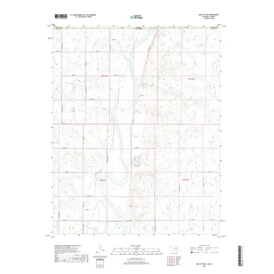
2018 Map of Kaw City NW
USGS Topo · Published 2018About this map
The Arkansas River carves a central path through this section of the Oklahoma-Kansas borderlands, where the landscape transitions from the upland prairies of Cowley County into the river bottomlands of Kay County. This 2018 survey reveals a terrain defined by its watercourses, including the substantial Chilocco Creek and the meandering Little Osage Creek. Evidence of local history and community is found at Cooper Cemetery, situated on the bluffs overlooking the river valley. The map documents the rural infrastructure of the region, anchored by named routes like Traders Bend Cove and Diamond Blvd. South of the state line, Newkirk Lake serves as a distinct landmark amidst a network of smaller drainages such as Sandy Creek and Sweetwater Creek that feed into the larger river system.
Find a feature on this map
48 named features on this map. Tap any name to fly to it.
Don’t see what you’re looking for? This feature index may not catch every label — zoom into the map to look around manually.
Map Details
Editions of this 2018 Kaw City NW Map
This is the sole edition of this map. No revisions or reprints were ever made.
Other maps of this area

1889 · Burden
USGS Topo · 1:125,000

1890 · Wellington
USGS Topo · 1:125,000

1935 · Kaw
USGS Topo · 1:62,500

1955 · Wichita
USGS Topo · 1:250,000

1955 · Enid
USGS Topo · 1:250,000

1958 · Enid
USGS Topo · 1:250,000

1958 · Wichita
USGS Topo · 1:250,000

1963 · Uncas
USGS Topo · 1:24,000

1963 · Kaw City NW
USGS Topo · 1:24,000

1964 · Kaw City
USGS Topo · 1:24,000