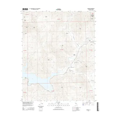
2015 Map of Kaweah
USGS Topo · Published 2015About this map
The confluence of the Kaweah River and its multiple forks dominates this Sierra foothills landscape, where the settlement of Three Rivers serves as a gateway to the high country. To the north, the winding N Fork Kaweah River passes the historic site of Kaweah, a place rooted in nineteenth-century utopian settlement history, though the map shows it as a quiet residential node in the modern era. The terrain climbs sharply toward the eastern edge of the quadrangle into the protected wilderness of Sequoia National Park, featuring landmarks like Blossom Peak and Shepherd Peak. Lower elevations reveal the pastoral character of Cherokee Flat and Mankins Flat, while the reservoir at Washburn Cove marks the southern reach of the local water system. This topographical study details the transition from the river-bottom residential roads like Cherokee Oaks Dr to the steep canyons of Indian Canyon and General Canyon.
Find a feature on this map
52 named features on this map. Tap any name to fly to it.
Don’t see what you’re looking for? This feature index may not catch every label — zoom into the map to look around manually.
Map Details
Editions of this 2015 Kaweah Map
This is the sole edition of this map. No revisions or reprints were ever made.
Other maps of this area

1903 · Tehipite
USGS Topo · 1:125,000

1904 · Kaweah
USGS Topo · 1:125,000

1905 · Tehipite
USGS Topo · 1:125,000

1909 · Kaweah
USGS Topo · 1:125,000

1922 · Trimmer
USGS Topo · 1:96,000

1924 · Dinuba
USGS Topo · 1:125,000

1925 · Rocky Hill
USGS Topo · 1:31,680

1927 · Rocky Hill
USGS Topo · 1:31,680

1928 · Lemon Cove
USGS Topo · 1:31,680

1937 · Kaweah
USGS Topo · 1:125,000