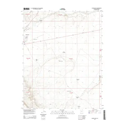
2014 Map of Kayenta East
USGS Topo · Published 2014About this map
Kayenta serves as the primary hub for this high-desert region, where residential streets like Birch Dr and Elm St meet major transit corridors such as Us-160 and Us-163. The infrastructure of the mid-2010s is clearly visible, including the layout of the Kayenta Airport and the network of local Bureau of Indian Affairs routes like Bia-591.
Find a feature on this map
28 named features on this map. Tap any name to fly to it.
Don’t see what you’re looking for? This feature index may not catch every label — zoom into the map to look around manually.
Map Details
Editions of this 2014 Kayenta East Map
This is the sole edition of this map. No revisions or reprints were ever made.
Other maps of this area

1883 · Marsh Pass
USGS Topo · 1:250,000

1892 · Marsh Pass
USGS Topo · 1:250,000

1952 · Boot Mesa
USGS Topo · 1:62,500

1952 · Agathla Peak 2 SE
USGS Topo · 1:24,000

1952 · Agathla Peak 1 SE
USGS Topo · 1:24,000

1952 · Agathla Peak
USGS Topo · 1:62,500

1952 · Agathla Peak 1 SW
USGS Topo · 1:24,000

1956 · Marble Canyon
USGS Topo · 1:250,000

1959 · Marble Canyon
USGS Topo · 1:250,000

1961 · Marble Canyon
USGS Topo · 1:250,000