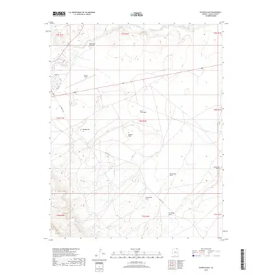
2018 Map of Kayenta East
USGS Topo · Published 2018About this map
Laguna Creek flows across the northern reaches of this high desert landscape, carving a drainage path through Navajo County just east of the Kayenta township. The terrain is defined by a series of distinct geological landmarks and broad washes, such as Burnt Trees Wash and Cottonwood Wash, which channel seasonal runoff toward the creek. Prominent landforms like Black Rock Standing and Red Rock Hill provide vertical relief against the shifting elevations of Hallburn Ridge.
Find a feature on this map
25 named features on this map. Tap any name to fly to it.
Don’t see what you’re looking for? This feature index may not catch every label — zoom into the map to look around manually.
Map Details
Editions of this 2018 Kayenta East Map
This is the sole edition of this map. No revisions or reprints were ever made.
Other maps of this area

1883 · Marsh Pass
USGS Topo · 1:250,000

1892 · Marsh Pass
USGS Topo · 1:250,000

1952 · Boot Mesa
USGS Topo · 1:62,500

1952 · Agathla Peak 2 SE
USGS Topo · 1:24,000

1952 · Agathla Peak 1 SE
USGS Topo · 1:24,000

1952 · Agathla Peak
USGS Topo · 1:62,500

1952 · Agathla Peak 1 SW
USGS Topo · 1:24,000

1956 · Marble Canyon
USGS Topo · 1:250,000

1959 · Marble Canyon
USGS Topo · 1:250,000

1961 · Marble Canyon
USGS Topo · 1:250,000