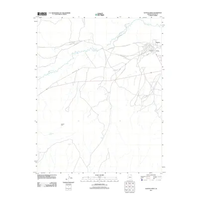
2011 Map of Kayenta West
USGS Topo · Published 2011About this map
Kayenta serves as the primary hub in this Navajo Nation landscape, where the confluence of modern infrastructure and traditional commerce is visible through the presence of the Kayenta Post Office and the Tohdenasshai Trading Post. The settlement is situated near the winding course of Laguna Creek, which dominates the northern drainage pattern alongside Parrish Creek. This 2011 survey reveals a complex network of local routes, including Diversion Dam Rd and Dot Rd, facilitating movement through the arid terrain south of the town center. To the southwest, the landscape rises toward Lolamai Point, a prominent elevation overlooking a series of remote water sources such as Little Shonot Spring, Fir Spring, and Tees Spa Spring. These isolated springs and the winding pathways of Indian Rte 6486 suggest a rural economy reliant on scattered water points and established tribal transit corridors.
Find a feature on this map
16 named features on this map. Tap any name to fly to it.
Don’t see what you’re looking for? This feature index may not catch every label — zoom into the map to look around manually.
Map Details
Editions of this 2011 Kayenta West Map
This is the sole edition of this map. No revisions or reprints were ever made.
Other maps of this area

1883 · Marsh Pass
USGS Topo · 1:250,000

1892 · Marsh Pass
USGS Topo · 1:250,000

1952 · Agathla Peak 2 SW
USGS Topo · 1:24,000

1952 · Boot Mesa
USGS Topo · 1:62,500

1952 · Agathla Peak 2 SE
USGS Topo · 1:24,000

1952 · Agathla Peak
USGS Topo · 1:62,500

1952 · Agathla Peak 1 SW
USGS Topo · 1:24,000

1956 · Marble Canyon
USGS Topo · 1:250,000

1959 · Marble Canyon
USGS Topo · 1:250,000

1961 · Marble Canyon
USGS Topo · 1:250,000