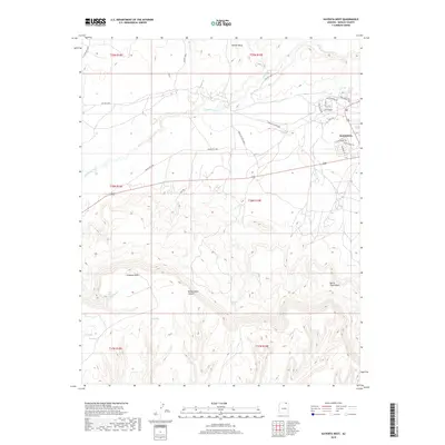
2018 Map of Kayenta West
USGS Topo · Published 2018About this map
Kayenta serves as the primary hub in this Navajo Nation landscape, where the intersection of Us-160 and local routes like Betatakin Rd and Church Rock Rd marks the transition from community to high desert. The geography is defined by the winding course of Laguna Creek and its seasonal drainage at Burnt Trees Wash, bordered by the high prominence of Tyende Mesa and Lolomai Point.
Find a feature on this map
33 named features on this map. Tap any name to fly to it.
Don’t see what you’re looking for? This feature index may not catch every label — zoom into the map to look around manually.
Map Details
Editions of this 2018 Kayenta West Map
This is the sole edition of this map. No revisions or reprints were ever made.
Other maps of this area

1883 · Marsh Pass
USGS Topo · 1:250,000

1892 · Marsh Pass
USGS Topo · 1:250,000

1952 · Agathla Peak 2 SW
USGS Topo · 1:24,000

1952 · Boot Mesa
USGS Topo · 1:62,500

1952 · Agathla Peak 2 SE
USGS Topo · 1:24,000

1952 · Agathla Peak
USGS Topo · 1:62,500

1952 · Agathla Peak 1 SW
USGS Topo · 1:24,000

1956 · Marble Canyon
USGS Topo · 1:250,000

1959 · Marble Canyon
USGS Topo · 1:250,000

1961 · Marble Canyon
USGS Topo · 1:250,000