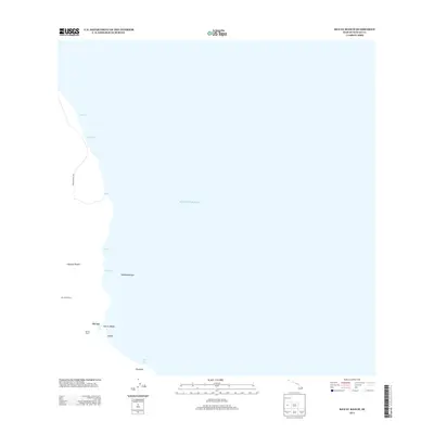
2013 Map of Keaau Ranch
USGS Topo · Published 2013About this map
Kea‘au Ranch and the small settlement of Hā‘ena define this coastal stretch of the Island of Hawai‘i as it appeared in the early 21st century. The landscape is characterized by its meeting with the Pacific Ocean, where distinct points and coastal features like Anapuka, Paukūpahu, and Pāpa‘i mark the shoreline. This area serves as a transition from agricultural land use, seen at Kea‘au Orchard, to the natural maritime environment.
Find a feature on this map
16 named features on this map. Tap any name to fly to it.
Don’t see what you’re looking for? This feature index may not catch every label — zoom into the map to look around manually.
Map Details
Editions of this 2013 Keaau Ranch Map
This is the sole edition of this map. No revisions or reprints were ever made.
Other maps of this area

1915 · Honomu
USGS Topo · 1:62,500

1917 · Hilo
USGS Topo · 1:62,500

1924 · Makuu
USGS Topo · 1:62,500

1932 · Hilo
USGS Topo · 1:62,500

1954 · Hawaii North
USGS Topo · 1:250,000

1959 · Hawaii North
USGS Topo · 1:250,000

1961 · Hawaii North
USGS Topo · 1:250,000
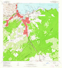
1963 · Hilo
USGS Topo · 1:24,000
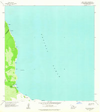
1963 · Keaau Ranch
USGS Topo · 1:24,000
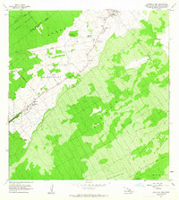
1963 · Mountain View
USGS Topo · 1:24,000