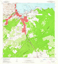
1963 Map of Hilo
USGS Topo · Published 1964About this map
The growing urban core of Hilo is flanked by the remnants of the island's volcanic past and its agricultural present in this early 1960s survey. To the south, the sprawling Waiakea Homesteads and Ponahawai Homesteads show the pattern of residential expansion, while the Waiakea Forest Reserve and Panaewa Forest Reserve define the limits of the tropical landscape. The shoreline is a hub of activity, from the recreational Liliuokalani Gardens Pond and Cocoanut Island to the industrial utility of General Lyman Field and the Sugar Mill near Keaau.
Find a feature on this map
95 named features on this map. Tap any name to fly to it.
Don’t see what you’re looking for? This feature index may not catch every label — zoom into the map to look around manually.
Map Details
Editions of this 1963 Hilo Map
2 editions found
Other maps of this area

1915 · Honomu
USGS Topo · 1:62,500

1917 · Hilo
USGS Topo · 1:62,500

1924 · Makuu
USGS Topo · 1:62,500

1932 · Hilo
USGS Topo · 1:62,500

1954 · Hawaii North
USGS Topo · 1:250,000

1959 · Hawaii North
USGS Topo · 1:250,000

1961 · Hawaii North
USGS Topo · 1:250,000
1963 · Puu Makaala
USGS Topo · 1:24,000
1963 · Piihonua
USGS Topo · 1:24,000
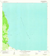
1963 · Keaau Ranch
USGS Topo · 1:24,000