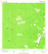
1963 Map of Puu Makaala
USGS Topo · Published 1964About this map
Puu Makaala rises from the dense woodland of the Big Island in this mid-1960s survey, marking the topographical heart of a region defined by its expansive forest management. The landscape is a patchwork of conservation and early habitation zones, including the Waiakea Forest Reserve and the Upper Waiakea Forest Reserve. Infrastructure in this era was primarily geared toward resource access and transit between the South Hilo and Puna Districts, evidenced by the Stainback Highway and the Olaa Flume Road.
Find a feature on this map
16 named features on this map. Tap any name to fly to it.
Don’t see what you’re looking for? This feature index may not catch every label — zoom into the map to look around manually.
Map Details
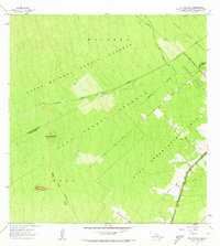
Editions of this 1963 Puu Makaala Map
2 editions found
Other maps of this area

1917 · Hilo
USGS Topo · 1:62,500

1921 · Kilauea
USGS Topo · 1:62,500

1922 · Puna
USGS Topo · 1:62,500

1924 · Kilauea
USGS Topo · 1:62,500

1924 · Puna
USGS Topo · 1:62,500

1930 · Humuula
USGS Topo · 1:62,500

1932 · Hilo
USGS Topo · 1:62,500

1954 · Hawaii South
USGS Topo · 1:250,000

1954 · Hawaii North
USGS Topo · 1:250,000

1956 · Upper Piihonua
USGS Topo · 1:24,000