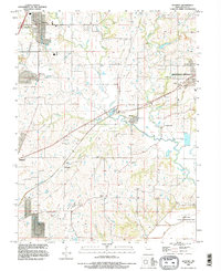
1990 Map of Kearney
USGS Topo · Published 1996About this map
The Fishing River and its numerous tributaries, including Clear Creek and Williams Creek, carve a complex drainage pattern across this portion of Clay County. In the early 1990s, the landscape shows a transition between the growing residential fringes of Liberty and Kearney and the agricultural lands that define the rural interior. The area is exceptionally dense with family and community burial grounds, such as Old Liberty Cem, Munkers Cem, and Shady Grove Cem, providing a significant record for genealogical research in Missouri. To the south, the Cooley Lake State Conservation Area occupies the bottomlands near the Levee, where the terrain flattens toward the Missouri River valley. Small historical clusters like Stockdale and Prathersville remain visible alongside the rail lines and meandering creek beds that historically dictated the placement of local settlements.
Find a feature on this map
37 named features on this map. Tap any name to fly to it.
Don’t see what you’re looking for? This feature index may not catch every label — zoom into the map to look around manually.
Map Details
Editions of this 1990 Kearney Map
This is the sole edition of this map. No revisions or reprints were ever made.
Other maps of this area

1894 · Independence
USGS Topo · 1:125,000

1935 · Buckner
USGS Topo · 1:24,000

1935 · Missouri City
USGS Topo · 1:24,000

1935 · Liberty
USGS Topo · 1:24,000

1936 · Kearney
USGS Topo · 1:48,000

1940 · Liberty
USGS Topo · 1:31,680

1942 · Kearney
USGS Topo · 1:62,500

1945 · Kearney
USGS Topo · 1:62,500
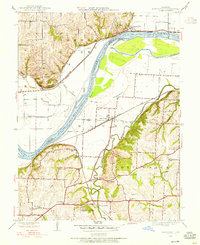
1945 · Missouri City
USGS Topo · 1:24,000
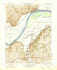
1947 · Missouri City
USGS Topo · 1:31,680