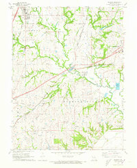
1971 Map of Kearney
USGS Topo · Published 1972About this map
The Fishing River and its numerous tributaries, including Clear Creek and Holmes Creek, carve through the landscape of Clay County in this early 1970s survey. The area is defined by its rural character and a dense network of family and community cemeteries, such as Crowley Cem, Searcy Cem, and Munkirs Cem, which offer significant value for genealogical research. The Chicago Milwaukee ST Paul And Pacific railroad provides a primary east-west corridor, passing through the small communities of Mosby and Stockdale. Educational and spiritual life in the countryside is marked by landmarks like Means Sch, Mosby Sch, and Mt Olive Ch. On the periphery, the growth of larger hubs like Kearney and the western edge of Excelsior Springs begins to show, while localized industries like a Claypit and several quarries reflect the region's mineral extraction activities.
Find a feature on this map
46 named features on this map. Tap any name to fly to it.
Don’t see what you’re looking for? This feature index may not catch every label — zoom into the map to look around manually.
Map Details
Editions of this 1971 Kearney Map
This is the sole edition of this map. No revisions or reprints were ever made.
Other maps of this area

1894 · Independence
USGS Topo · 1:125,000

1935 · Buckner
USGS Topo · 1:24,000

1935 · Missouri City
USGS Topo · 1:24,000

1935 · Liberty
USGS Topo · 1:24,000

1936 · Kearney
USGS Topo · 1:48,000

1940 · Liberty
USGS Topo · 1:31,680

1942 · Kearney
USGS Topo · 1:62,500

1945 · Kearney
USGS Topo · 1:62,500
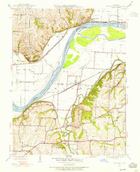
1945 · Missouri City
USGS Topo · 1:24,000
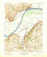
1947 · Missouri City
USGS Topo · 1:31,680