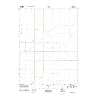
2011 Map of Kearney SW
USGS Topo · Published 2011About this map
Phelps County Canal anchors the southeastern corner of this agricultural landscape in Kearney County, signaling the critical role of water management in the Great Plains. The terrain is defined by a series of intermittent watercourses, including the winding path of North Dry Creek and the southern reaches of Lost Creek, which drain toward the Platte River valley. This 2011 survey illustrates a strictly organized section-line road system, where corridors such as 20 Rd, W Rd, and 740 Rd facilitate transport between vast farming plots. The lack of concentrated town centers emphasizes the area's rural character, highlighting the sparse, individual homesteads and the irrigation infrastructure that sustains the region's productive grain fields.
Find a feature on this map
24 named features on this map. Tap any name to fly to it.
Don’t see what you’re looking for? This feature index may not catch every label — zoom into the map to look around manually.
Map Details
Editions of this 2011 Kearney SW Map
This is the sole edition of this map. No revisions or reprints were ever made.
Other maps of this area

1894 · Kearney
USGS Topo · 1:62,500

1896 · Holdrege
USGS Topo · 1:125,000

1896 · Kearney
USGS Topo · 1:125,000

1955 · Grand Island
USGS Topo · 1:250,000

1957 · Grand Island
USGS Topo · 1:250,000

1958 · Grand Island
USGS Topo · 1:250,000

1962 · Elm Creek East
USGS Topo · 1:24,000
1962 · Kearney
USGS Topo · 1:24,000
1962 · Alfalfa Center
USGS Topo · 1:24,000

1970 · Holdrege East
USGS Topo · 1:24,000