
1948 Map of Keating Summit
USGS Topo · Published 1958About this map
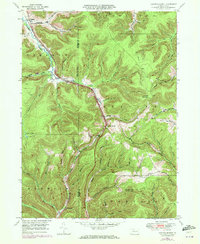
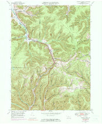
Keating Summit stands at a high elevation point in the late 1940s, marking a significant rail and water divide along the Pennsylvania railroad line. This survey captures a deeply dissected landscape where the Allegheny River and Portage Creek have carved intricate valley systems, dictating the placement of small settlements and transportation routes. Narrow hollows like Planing Mill Hol and Slabtown Hollow suggest the area's historical reliance on timber and small-scale industry, while the Fire Tower atop Fox Mountain and the peak of Lookout Mountain emphasize the high-relief topography of the McKean and Potter County border. The map illustrates a moment before significant modern highway expansion, showing the original footprints of rural communities such as Liberty, Wrights, and the village of Odin.
Find a feature on this map
62 named features on this map. Tap any name to fly to it.
Don’t see what you’re looking for? This feature index may not catch every label — zoom into the map to look around manually.
Map Details
Editions of this 1948 Keating Summit Map
3 editions found
Other maps of this area

1933 · Smethport
USGS Topo · 1:62,500

1934 · Coudersport
USGS Topo · 1:48,000

1937 · Smethport
USGS Topo · 1:62,500

1938 · Coudersport
USGS Topo · 1:62,500

1948 · Crosby
USGS Topo · 1:62,500

1948 · Emporium
USGS Topo · 1:62,500

1948 · Emporium
USGS Topo · 1:24,000
1948 · Wharton
USGS Topo · 1:24,000

1948 · Rich Valley
USGS Topo · 1:24,000

1948 · Norwich
USGS Topo · 1:24,000
Featured Places
- Liberty Township, PA
- Roulette Township, PA
- Norwich Township, PA
- Portage Township, PA
- Keating Township, PA