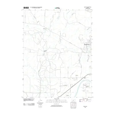
2009 Map of Keats
USGS Topo · Published 2009About this map
Wildcat Creek meanders eastward toward the outskirts of Manhattan, anchoring a landscape defined by agricultural research and small community centers in the early twenty-first century. The rural character of the region is punctuated by specialized land use, including the Kansas State Horticulture Farm and the Ashland Agronomy Farm situated near the Kansas River in Ashland Bottoms. Further west, the map details the small unincorporated communities of Keats and Elm Hollow Corner, providing a record of the road networks and property distributions that link these settlements to the growing municipal influence of Manhattan.
Find a feature on this map
61 named features on this map. Tap any name to fly to it.
Don’t see what you’re looking for? This feature index may not catch every label — zoom into the map to look around manually.
Map Details
Editions of this 2009 Keats Map
This is the sole edition of this map. No revisions or reprints were ever made.
Other maps of this area

1886 · Junction City
USGS Topo · 1:125,000

1889 · Junction City
USGS Topo · 1:125,000

1894 · Junction City
USGS Topo · 1:125,000

1947 · Manhattan
USGS Topo · 1:62,500

1947 · Fort Riley
USGS Topo · 1:62,500

1950 · Keats
USGS Topo · 1:24,000

1950 · Manhattan
USGS Topo · 1:24,000

1950 · Junction City
USGS Topo · 1:24,000

1951 · Swede Creek
USGS Topo · 1:24,000

1951 · Ogden
USGS Topo · 1:24,000