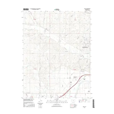
2015 Map of Keats
USGS Topo · Published 2015About this map
The Kansas River valley west of Manhattan reveals a landscape defined by its waterways and expanding infrastructure in 2015. Tributaries like Wildcat Cr, Sevenmile Cr, and Little Kitten Cr carve through the terrain, framing the small unincorporated community of Keats and the southern settlement of Ogden. The map documents a significant intersection of local aviation and history, featuring both the large Manhattan Regional Airport and the smaller N & N Airport. Genealogists may find interest in the Rebekah Independent Order of Odd-Fellows Home Cem located near Eureka Valley. The southeast corner is dominated by the broad floodplain of the river, containing Eureka Lake and the rural area of Ashland Bottoms, while the western hills are crossed by a network of established roads such as Engineer Rd and Vinton School Rd.
Find a feature on this map
85 named features on this map. Tap any name to fly to it.
Don’t see what you’re looking for? This feature index may not catch every label — zoom into the map to look around manually.
Map Details
Editions of this 2015 Keats Map
This is the sole edition of this map. No revisions or reprints were ever made.
Other maps of this area

1886 · Junction City
USGS Topo · 1:125,000

1889 · Junction City
USGS Topo · 1:125,000

1894 · Junction City
USGS Topo · 1:125,000

1947 · Manhattan
USGS Topo · 1:62,500

1947 · Fort Riley
USGS Topo · 1:62,500

1950 · Keats
USGS Topo · 1:24,000

1950 · Manhattan
USGS Topo · 1:24,000

1950 · Junction City
USGS Topo · 1:24,000

1951 · Swede Creek
USGS Topo · 1:24,000

1951 · Ogden
USGS Topo · 1:24,000