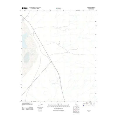
2012 Map of Keeler
USGS Topo · Published 2012About this map
Keeler sits at the edge of a dry, expansive basin in this 2012 survey of the Owens Lake region. The map captures the small community’s position along the shoreline and its connection to the surrounding high desert via Cerro Gordo Rd, which leads toward the steep slopes of the Inyo Mountains. This specific edition illustrates the stark geography of the area, showing the minimal road infrastructure and the concentrated settlement pattern characteristic of this arid Inyo County landscape. The survey provides a clear view of the town's layout and its relationship to the dramatic environmental features of the eastern Sierra Nevada rain shadow.
Find a feature on this map
2 named features on this map. Tap any name to fly to it.
Don’t see what you’re looking for? This feature index may not catch every label — zoom into the map to look around manually.
Map Details
Editions of this 2012 Keeler Map
This is the sole edition of this map. No revisions or reprints were ever made.
Other maps of this area

1908 · Ballarat
USGS Topo · 1:250,000

1913 · Ballarat
USGS Topo · 1:250,000

1948 · Death Valley
USGS Topo · 1:250,000

1950 · Darwin
USGS Topo · 1:62,500

1950 · New York Butte
USGS Topo · 1:62,500

1950 · Ubehebe Peak
USGS Topo · 1:62,500

1951 · New York Butte
USGS Topo · 1:62,500

1951 · Darwin
USGS Topo · 1:62,500

1951 · Ubehebe Peak
USGS Topo · 1:62,500

1951 · Keeler
USGS Topo · 1:62,500