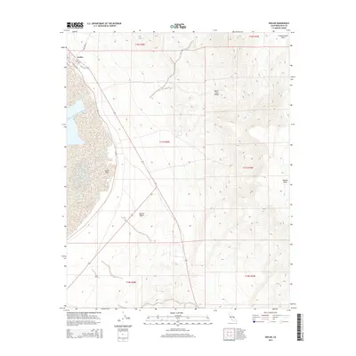
2015 Map of Keeler
USGS Topo · Published 2015About this map
Keeler sits at the edge of the expansive Owens Lake bed, serving as a focal point for this high-desert landscape in Inyo County. The town site features a distinct grid of streets including Laws Ave, Yerington Ave, and Cerro Gordo St, reflecting its historical importance as a transit and mining hub. To the east, the terrain rises sharply into the White-Inyo Range, while the Mojave Desert influences the southern reaches of the quadrangle.
Find a feature on this map
16 named features on this map. Tap any name to fly to it.
Don’t see what you’re looking for? This feature index may not catch every label — zoom into the map to look around manually.
Map Details
Editions of this 2015 Keeler Map
This is the sole edition of this map. No revisions or reprints were ever made.
Other maps of this area

1908 · Ballarat
USGS Topo · 1:250,000

1913 · Ballarat
USGS Topo · 1:250,000

1948 · Death Valley
USGS Topo · 1:250,000

1950 · Darwin
USGS Topo · 1:62,500

1950 · New York Butte
USGS Topo · 1:62,500

1950 · Ubehebe Peak
USGS Topo · 1:62,500

1951 · New York Butte
USGS Topo · 1:62,500

1951 · Darwin
USGS Topo · 1:62,500

1951 · Ubehebe Peak
USGS Topo · 1:62,500

1951 · Keeler
USGS Topo · 1:62,500