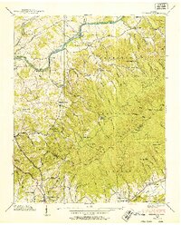
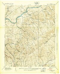
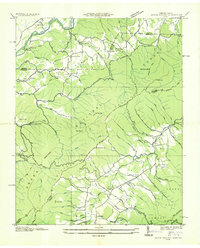
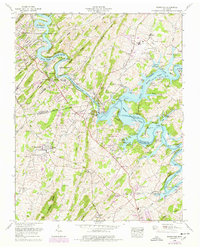
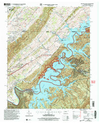
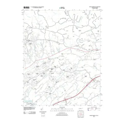
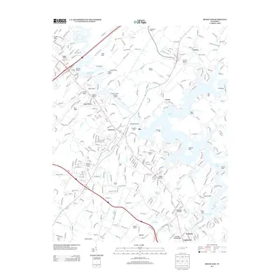
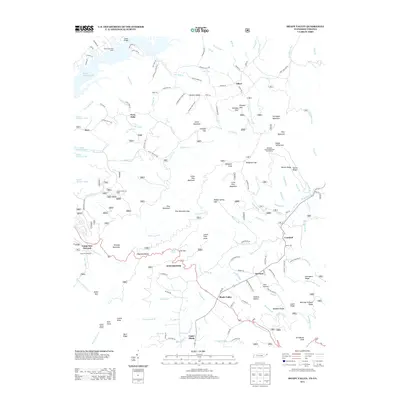
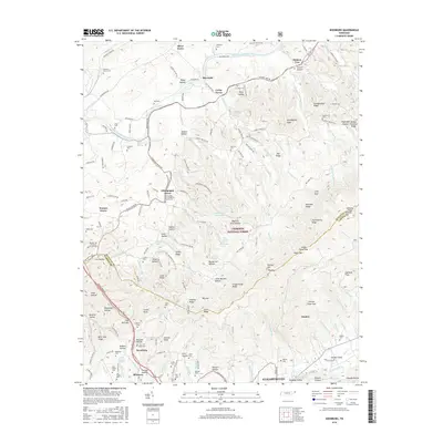
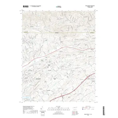
1938 Map of Keenburg
USGS Topo · Published 1952About this map
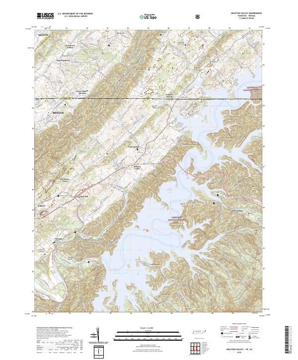
South Fork Holston River winds through this 1938 landscape, carving a valley between the heights of Holston Mountain and the western settlements. The Southern Railway follows the lower terrain, connecting the communities of Keenburg and Biltmore to the broader regional economy. This era reveals a transition from traditional water-powered industry at Mc Caneys Mill to the extraction of resources from Abandoned Mines and a Bauxite Hollow near Jonkin Knob.
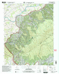
Find a feature on this map
83 named features on this map. Tap any name to fly to it.
Don’t see what you’re looking for? This feature index may not catch every label — zoom into the map to look around manually.
Map Details
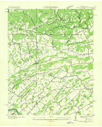
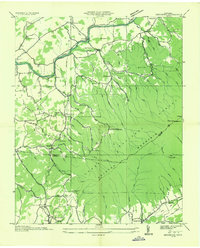
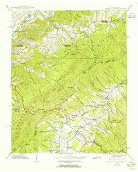
Editions of this 1938 Keenburg Map
2 editions found
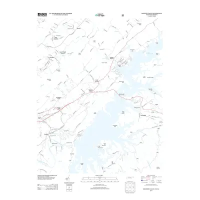
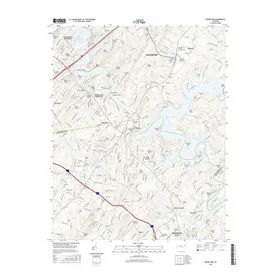
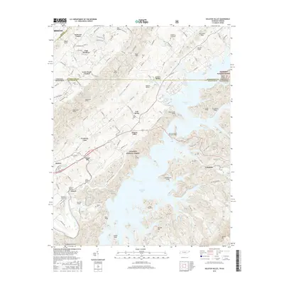
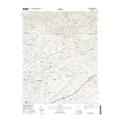
Historical Maps of Elizabethton Through Time
42 maps found

1934 Holston Valley
Sullivan County, TN
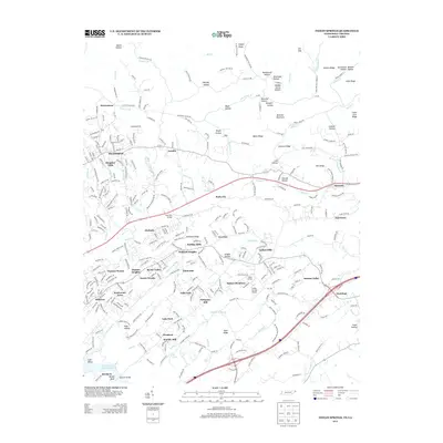
1935 Indian Springs
Sullivan County, TN
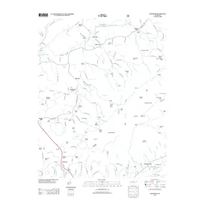
1935 Keenburg
Sullivan County, TN
1935 Shady Valley
Sullivan County, TN

1938 Holston Valley
Sullivan County, TN
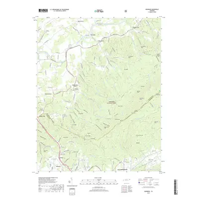
1938 Keenburg
Sullivan County, TN
1938 Shady Valley
Sullivan County, TN
1939 Indian Springs
Sullivan County, TN
1940 Indian Springs
Sullivan County, TN
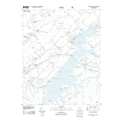
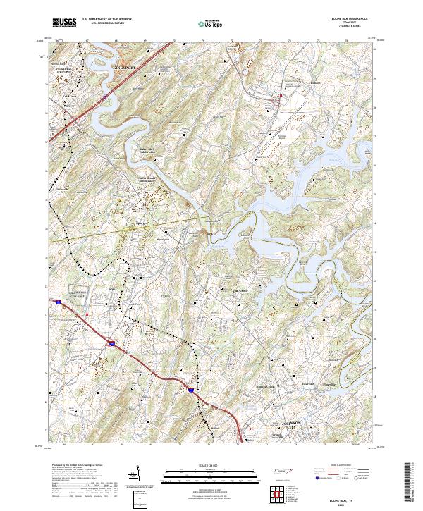
1959 Boone Dam
Sullivan County, TN
1959 Indian Springs
Sullivan County, TN

1960 Holston Valley
Sullivan County, TN
1960 Keenburg
Sullivan County, TN
1960 Shady Valley
Sullivan County, TN
2003 Holston Valley
Sullivan County, TN
2003 Keenburg
Sullivan County, TN
2003 Shady Valley
Sullivan County, TN
2010 Boone Dam
Sullivan County, TN
2010 Indian Springs
Sullivan County, TN
2011 Holston Valley
Sullivan County, TN
2011 Keenburg
Sullivan County, TN
2011 Shady Valley
Sullivan County, TN
2013 Boone Dam
Sullivan County, TN
2013 Holston Valley
Sullivan County, TN
2013 Indian Springs
Sullivan County, TN
2013 Keenburg
Sullivan County, TN
2013 Shady Valley
Sullivan County, TN
2016 Boone Dam
Sullivan County, TN
2016 Holston Valley
Sullivan County, TN
2016 Indian Springs
Sullivan County, TN
2016 Keenburg
Sullivan County, TN
2016 Shady Valley
Sullivan County, TN
2019 Boone Dam
Sullivan County, TN
2019 Holston Valley
Sullivan County, TN
2019 Indian Springs
Sullivan County, TN
2019 Keenburg
Sullivan County, TN
2019 Shady Valley
Sullivan County, TN
2022 Boone Dam
Sullivan County, TN
2022 Holston Valley
Sullivan County, TN
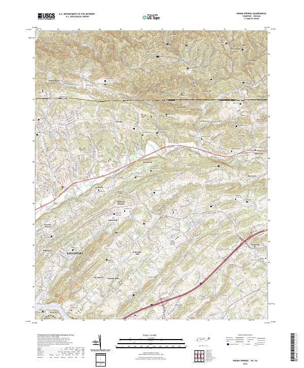
2022 Indian Springs
Sullivan County, TN
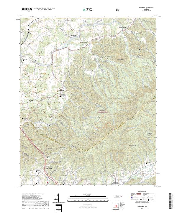
2022 Keenburg
Sullivan County, TN
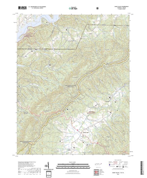
2022 Shady Valley
Sullivan County, TN