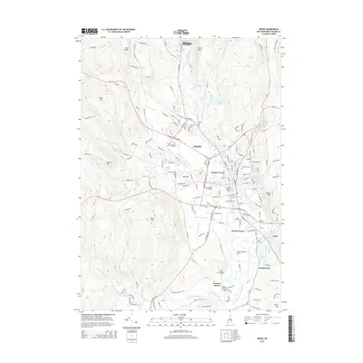
2015 Map of Keene
USGS Topo · Published 2015About this map
The Ashuelot River corridor serves as the central artery for this portion of Cheshire County, where the valley floor transitions into the heights of Surry Mtn and West Hill. The city of Keene is the primary hub, characterized by a dense street grid that includes the campuses of Keene State College and Antioch University New England. This area reflects a mature 21st-century landscape where industrial legacy and modern infrastructure coexist, visible in the proximity of residential neighborhoods like Harper Acres to the expansive Dillant-Hopkins Airport in the south.
Find a feature on this map
165 named features on this map. Tap any name to fly to it.
Don’t see what you’re looking for? This feature index may not catch every label — zoom into the map to look around manually.
Map Details
Editions of this 2015 Keene Map
This is the sole edition of this map. No revisions or reprints were ever made.
Other maps of this area

1898 · Monadnock
USGS Topo · 1:62,500

1898 · Keene
USGS Topo · 1:62,500

1927 · Bellows Falls
USGS Topo · 1:48,000

1930 · Lovewell Mountain
USGS Topo · 1:62,500

1930 · Bellows Falls
USGS Topo · 1:62,500

1932 · Keene
USGS Topo · 1:62,500
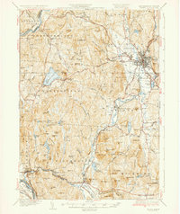
1935 · Keene
USGS Topo · 1:62,500

1936 · Monadnock
USGS Topo · 1:62,500

1942 · Keene
USGS Topo · 1:125,000

1942 · Lovewell Mountain
USGS Topo · 1:62,500