Loading...
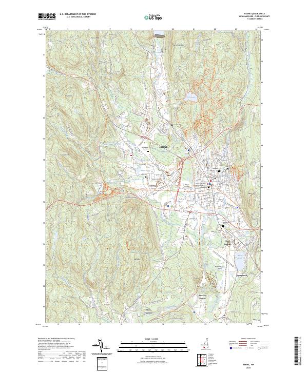
Loading map...2024 Map of Keene
USGS Topo · Published 2024About this map
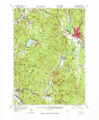
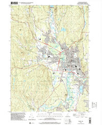
The Ashuelot River anchors this study of southwestern New Hampshire, where the city of Keene serves as a hub of education and regional government. The presence of Keene State College and Antioch University New England highlights the area's academic character, while the Cheshire County Courthouse marks the historic civic center. Settlement patterns follow the valley floor, extending south into North Swanzey and West Swanzey near the South Branch Ashuelot River.
Find a feature on this map
155 named features on this map. Tap any name to fly to it.
Don’t see what you’re looking for? This feature index may not catch every label — zoom into the map to look around manually.
Map Details
Date Portrayed2024
Date Published2024
PublisherU.S. Geological Survey
Map TypeTopographic
Scale1:24000
Physical Dimensions24 x 29 inches
Editions of this 2024 Keene Map
This is the sole edition of this map. No revisions or reprints were ever made.
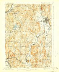
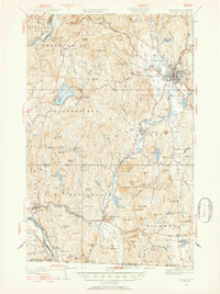
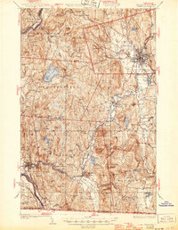
Historical Maps of North Swanzey Through Time
9 maps found

Featured Locations
Source Details
SourceU.S. Geological Survey
CopyrightPublic Domain