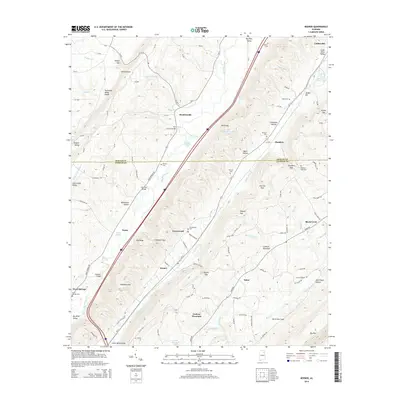
2014 Map of Keener
USGS Topo · Published 2014About this map
Lookout Mountain dominates the eastern half of this landscape, its steep escarpment dropping away into the Little Wills Valley and Big Wills Valley. The area is defined by these parallel ridge-and-valley formations, which historically dictated the paths of transportation and settlement in northeastern Alabama. Small rural communities like Keener, Hendrixville, and Duck Springs are situated along the valley floors, where the concentration of family-named burial grounds—including Greenwood Cem and Boyd Cem—points to long-established local lineages. The topographic detail highlights numerous gaps such as Roden Gap and Keener Gap, which provided critical passage between the valleys. Significant hydrology includes the winding course of Big Wills Creek and several small mountain lakes, while landmarks like Flat Church Bridge and Chumley Bridge mark the primary crossings for local travelers navigating the drainage of Dark Hollow Br and its tributaries.
Find a feature on this map
114 named features on this map. Tap any name to fly to it.
Don’t see what you’re looking for? This feature index may not catch every label — zoom into the map to look around manually.
Map Details
Editions of this 2014 Keener Map
This is the sole edition of this map. No revisions or reprints were ever made.
Other maps of this area

1885 · Gadsden
USGS Topo · 1:125,000

1888 · Gadsden
USGS Topo · 1:125,000

1892 · Gadsden
USGS Topo · 1:125,000

1893 · Fort Payne
USGS Topo · 1:125,000

1895 · Gadsden
USGS Topo · 1:125,000

1898 · Fort Payne
USGS Topo · 1:125,000

1900 · Fort Payne
USGS Topo · 1:125,000

1903 · Gadsden
USGS Topo · 1:125,000

1936 · Painter
USGS Topo · 1:24,000

1936 · Crossville
USGS Topo · 1:24,000