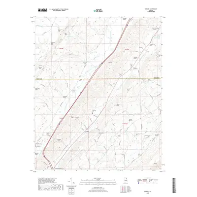
2018 Map of Keener
USGS Topo · Published 2018About this map
Big Wills Valley serves as the central corridor for this region, framed by the heights of Lookout Mountain and the Tennessee Valley Divide. The settlement pattern follows the valley floor and its adjacent ridges, with rural hubs like Keener, Flanders, and Tabor established along the drainage of Big Wills Creek. The landscape is defined by its gaps and hollows, such as Roden Gap and Dark Hollow, which have historically dictated the routes of local roads and property boundaries. Genealogists can find several established burial grounds including Mathis Cem and Greenwood Cem, while the location of Chumley Bridge and Stephens Bridge highlight essential crossing points over the area's numerous creeks. The southern reach near Duck Springs transitions into the varied terrain of Big Ridge, illustrating the complex geological folds characteristic of this Alabama highlands border.
Find a feature on this map
114 named features on this map. Tap any name to fly to it.
Don’t see what you’re looking for? This feature index may not catch every label — zoom into the map to look around manually.
Map Details
Editions of this 2018 Keener Map
This is the sole edition of this map. No revisions or reprints were ever made.
Other maps of this area

1885 · Gadsden
USGS Topo · 1:125,000

1888 · Gadsden
USGS Topo · 1:125,000

1892 · Gadsden
USGS Topo · 1:125,000

1893 · Fort Payne
USGS Topo · 1:125,000

1895 · Gadsden
USGS Topo · 1:125,000

1898 · Fort Payne
USGS Topo · 1:125,000

1900 · Fort Payne
USGS Topo · 1:125,000

1903 · Gadsden
USGS Topo · 1:125,000

1936 · Painter
USGS Topo · 1:24,000

1936 · Crossville
USGS Topo · 1:24,000