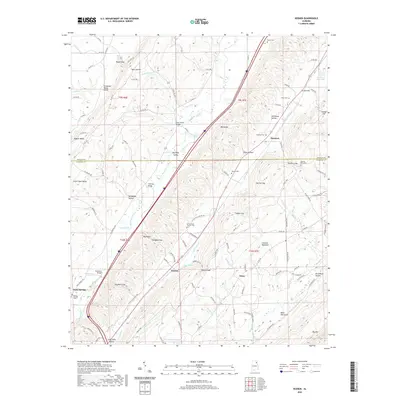
2020 Map of Keener
USGS Topo · Published 2020About this map
Lookout Mountain dominates the eastern horizon of this northeast Alabama landscape, where the ridge-and-valley topography dictates the placement of settlements and roads. The Tennessee Valley Divide snakes through the northwest, separating waters that flow toward the Tennessee River from those feeding the Coosa River system. Along the valley floor, the community of Keener sits near Keener Spring, while the settlement of Duck Springs occupies the southwest corner, anchored by the Duck Springs Cem.
Find a feature on this map
115 named features on this map. Tap any name to fly to it.
Don’t see what you’re looking for? This feature index may not catch every label — zoom into the map to look around manually.
Map Details
Editions of this 2020 Keener Map
This is the sole edition of this map. No revisions or reprints were ever made.
Other maps of this area

1885 · Gadsden
USGS Topo · 1:125,000

1888 · Gadsden
USGS Topo · 1:125,000

1892 · Gadsden
USGS Topo · 1:125,000

1893 · Fort Payne
USGS Topo · 1:125,000

1895 · Gadsden
USGS Topo · 1:125,000

1898 · Fort Payne
USGS Topo · 1:125,000

1900 · Fort Payne
USGS Topo · 1:125,000

1903 · Gadsden
USGS Topo · 1:125,000

1936 · Painter
USGS Topo · 1:24,000

1936 · Crossville
USGS Topo · 1:24,000