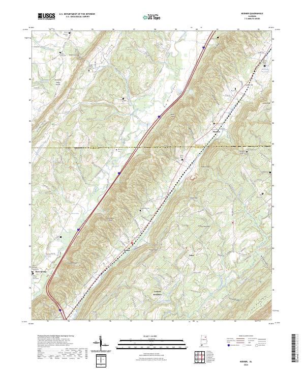
2024 Map of Keener
USGS Topo · Published 2024About this map
Lookout Mountain and Big Mountain dominate the eastern landscape of this Etowah County corridor, where the topography is defined by parallel ridges and the significant Tennessee Valley Divide. The settlement pattern follows the fertile stretches of Big Wills Valley and Little Wills Valley, where communities like Keener and Flanders established themselves along the early rail and road routes. Genealogists will find a high density of family-named burial sites, including the Dilbeck Graveyard, Roden Chapel Cem, and Mathis Cem, often situated near gaps in the ridges such as Roden Gap or Stephens Gap. The map details a complex drainage system where Big Wills Creek and Little Wills Creek serve as primary watercourses, fed by numerous upland sources like Yancey Spring and Keener Spring. This intersection of upland terrain and valley agriculture creates a distinct portrait of Northeast Alabama's rural geography.
Find a feature on this map
143 named features on this map. Tap any name to fly to it.
Don’t see what you’re looking for? This feature index may not catch every label — zoom into the map to look around manually.
Map Details
Editions of this 2024 Keener Map
This is the sole edition of this map. No revisions or reprints were ever made.
Other maps of this area

1885 · Gadsden
USGS Topo · 1:125,000

1888 · Gadsden
USGS Topo · 1:125,000

1892 · Gadsden
USGS Topo · 1:125,000

1893 · Fort Payne
USGS Topo · 1:125,000

1895 · Gadsden
USGS Topo · 1:125,000

1898 · Fort Payne
USGS Topo · 1:125,000

1900 · Fort Payne
USGS Topo · 1:125,000

1903 · Gadsden
USGS Topo · 1:125,000

1936 · Painter
USGS Topo · 1:24,000

1936 · Crossville
USGS Topo · 1:24,000