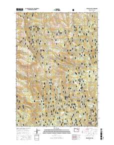
2017 Map of Keeney Point
USGS Topo · Published 2017About this map
Malheur National Forest dominates this landscape in Grant County, defined by a complex network of canyons and high points such as Keeney Point and Kahler Butte. The 2017 survey reveals a terrain carved by numerous drainages, including Slide Creek, Cottonwood Creek, and the South Fork Long Creek. Human presence is marked by a legacy of forest management and access, seen in the winding path of Keeney Forks Rd and the presence of established water sources like Keeney Camp Spring, Federal Spring, and Bear Wallow Spring. The map identifies distinct level areas amidst the relief, such as Whisky Flat and Jonas Flat, which suggest traditional locations for camps or small-scale operations within the national forest boundaries. This record of the timberlands illustrates how decades of resource management have shaped the contemporary road network and naming conventions of this high-elevation interior.
Find a feature on this map
44 named features on this map. Tap any name to fly to it.
Don’t see what you’re looking for? This feature index may not catch every label — zoom into the map to look around manually.
Map Details
Editions of this 2017 Keeney Point Map
This is the sole edition of this map. No revisions or reprints were ever made.
Other maps of this area

1949 · Long Creek
USGS Topo · 1:62,500

1949 · Susanville
USGS Topo · 1:62,500

1950 · Ritter
USGS Topo · 1:62,500

1951 · Susanville
USGS Topo · 1:62,500

1951 · Long Creek
USGS Topo · 1:62,500

1951 · Dale
USGS Topo · 1:62,500

1952 · Ritter
USGS Topo · 1:62,500

1955 · Canyon City
USGS Topo · 1:250,000

1959 · Canyon City
USGS Topo · 1:250,000

1980 · Monument
USGS Topo · 1:100,000