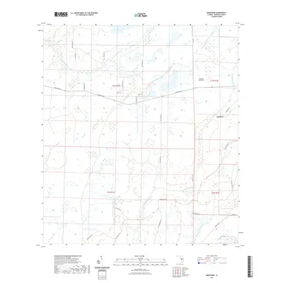
2021 Map of Keentown
USGS Topo · Published 2021About this map
Keentown and Peacock Hammock anchor this rural landscape in eastern Manatee County, where the hydrological network of the Florida peninsula is prominently on display. The terrain is defined by the convergence of major tributaries, including the S Fork Little Manatee River and the N Fork Manatee River. This area represents a quiet interior region of the state, where agriculture and conservation land dominate the landscape. The extensive Duette Park Trl system winds through the southern and eastern portions of the map, suggesting a shift toward managed recreational and environmental space. Local genealogy is rooted in sites like Keen Cem, while the naming of numerous water bodies such as Keen Br and Peacock Br indicates the long-standing influence of specific families on the geography of this drainage basin. The presence of Gulf Mine Rd in the southeast corner hints at the region's industrial ties to phosphate mining or similar resource extraction.
Find a feature on this map
33 named features on this map. Tap any name to fly to it.
Don’t see what you’re looking for? This feature index may not catch every label — zoom into the map to look around manually.
Map Details
Editions of this 2021 Keentown Map
This is the sole edition of this map. No revisions or reprints were ever made.
Other maps of this area

1944 · Rye
USGS Topo · 1:31,680

1944 · Wimauma
USGS Topo · 1:31,680

1944 · Verna
USGS Topo · 1:31,680

1947 · Wimauma
USGS Topo · 1:25,000

1956 · Myakka City NW
USGS Topo · 1:24,000

1956 · Ft Lonesome
USGS Topo · 1:24,000

1956 · Myakka Head
USGS Topo · 1:24,000

1956 · Duette NE
USGS Topo · 1:24,000
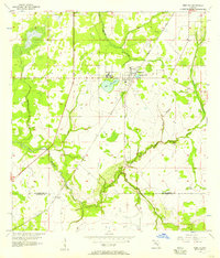
1956 · Wimauma
USGS Topo · 1:24,000

1956 · Duette
USGS Topo · 1:24,000