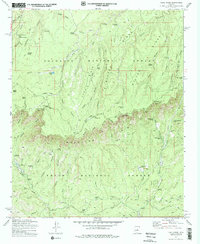
1972 Map of Kehl Ridge
USGS Topo · Published 1979About this map
The Mogollon Rim escarpment dominates this 1970s landscape, serving as a dramatic boundary between the Coconino National Forest to the north and the Tonto National Forest below. This survey captures a rugged network of ridges and canyons, where landmarks like Kehl Ridge, Blazed Ridge, and Battleground Ridge descend toward the East Verde River. Settled pockets and forest outposts are sparse but significant, including the General Springs Cabin and the community at Washington Park.
Find a feature on this map
59 named features on this map. Tap any name to fly to it.
Don’t see what you’re looking for? This feature index may not catch every label — zoom into the map to look around manually.
Map Details
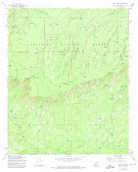
Editions of this 1972 Kehl Ridge Map
2 editions found
Other maps of this area

1887 · Verde
USGS Topo · 1:250,000

1892 · Verde
USGS Topo · 1:250,000

1934 · Pine
USGS Topo · 1:62,500

1934 · Promontory Butte
USGS Topo · 1:62,500

1939 · Promontory Butte
USGS Topo · 1:62,500

1940 · Pine
USGS Topo · 1:62,500

1952 · Pine
USGS Topo · 1:62,500

1952 · Promontory Butte
USGS Topo · 1:62,500

1954 · Holbrook
USGS Topo · 1:250,000

1957 · Holbrook
USGS Topo · 1:250,000
Featured Places
- Verde Glen, AZ
- Washington Park, AZ
- Rim Trail Mountain Club Estates, AZ
- Coconino County, AZ
- Gila County, AZ