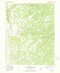
1972 Map of Keith Creek
USGS Topo · Published 1977About this map
Uncompahgre National Forest encompasses this high-elevation landscape in Mesa County, defined by its complex network of canyons and high ridges. The 1972 survey, based on 1964 aerial photography, illustrates a remote terrain managed for recreation and resource use, centered around the drainage of Big Dominguez Creek. Several primitive access points and seasonal sites are documented, including the Carson Hole Picnic Area and Winter Camp, alongside established facilities like the Dominguez Campground.
Find a feature on this map
31 named features on this map. Tap any name to fly to it.
Don’t see what you’re looking for? This feature index may not catch every label — zoom into the map to look around manually.
Map Details
Editions of this 1972 Keith Creek Map
2 editions found
Other maps of this area

1956 · Moab
USGS Topo · 1:250,000

1959 · Moab
USGS Topo · 1:250,000

1960 · Moab
USGS Topo · 1:250,000

1962 · Moab
USGS Topo · 1:250,000

1964 · Moab
USGS Topo · 1:250,000

1965 · Moab
USGS Topo · 1:250,000
1969 · Triangle Mesa
USGS Topo · 1:24,000
1972 · Casto Reservoir
USGS Topo · 1:24,000
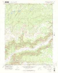
1972 · Snyder Flats
USGS Topo · 1:24,000
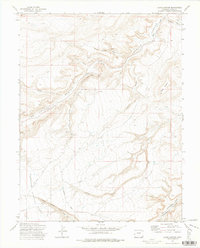
1972 · Jacks Canyon
USGS Topo · 1:24,000