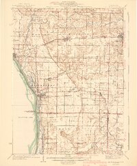
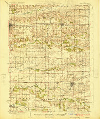
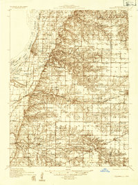
1941 Map of Keithsburg
USGS Topo · Published 1941About this map
The Mississippi River dominates the western edge of this 1941 edition, framing a landscape defined by river navigation and prairie rail commerce. The riverbanks are intricate with islands like Blackhawk Island and Johnson Island, while the interior is crisscrossed by several significant waterways including Edwards River, Camp Creek, and Pope Creek. The rail network of the Chicago Burlington and Quincy and the Minneapolis and St Louis connect river towns like Keithsburg and New Boston to inland hubs such as Joy and Millersburg.
Find a feature on this map
64 named features on this map. Tap any name to fly to it.
Don’t see what you’re looking for? This feature index may not catch every label — zoom into the map to look around manually.
Map Details
Editions of this 1941 Keithsburg Map
2 editions found

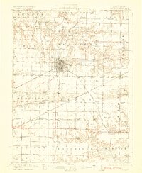
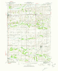
Other maps of this area

1912 · Milan
USGS Topo · 1:62,500

1916 · Edgington
USGS Topo · 1:62,500
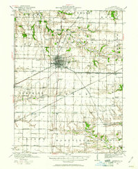
1921 · Monmouth
USGS Topo · 1:62,500
1923 · Monmouth
USGS Topo · 1:62,500
1923 · Alexis
USGS Topo · 1:62,500
1925 · Alexis
USGS Topo · 1:62,500
1934 · Oquawka
USGS Topo · 1:48,000

1934 · Burlington
USGS Topo · 1:48,000

1935 · Keithsburg
USGS Topo · 1:48,000

1938 · Edgington
USGS Topo · 1:62,500