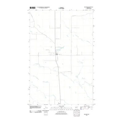
2010 Map of Kelliher
USGS Topo · Published 2010About this map
Kelliher serves as the central hub of this northern Minnesota landscape, situated where the grid of rural roads meets the winding courses of several significant waterways. The town's layout is defined by its core services, including the Kelliher Post Office, and a network of local streets like Railroad Ave and 2nd St. To the south, the Saint Joseph Cemetery stands as a point of local heritage, while the surrounding territory is dominated by a complex hydraulic system. The South Branch Battle River meanders across the center of the sheet, joined by tributaries such as Hoover Creek and Armstrong Creek. In the southern portion, the North Cormorant River flows through the wetland-heavy terrain, illustrating the hydrologic character of Beltrami County.
Find a feature on this map
23 named features on this map. Tap any name to fly to it.
Don’t see what you’re looking for? This feature index may not catch every label — zoom into the map to look around manually.
Map Details
Editions of this 2010 Kelliher Map
This is the sole edition of this map. No revisions or reprints were ever made.
Other maps of this area

1919 · Fox
USGS Topo · 1:62,500

1919 · Quiring
USGS Topo · 1:62,500

1919 · Norden
USGS Topo · 1:62,500

1919 · Bridgie
USGS Topo · 1:62,500

1924 · Bridgie
USGS Topo · 1:62,500

1954 · Bemidji
USGS Topo · 1:250,000

1954 · Roseau
USGS Topo · 1:250,000

1957 · Roseau
USGS Topo · 1:250,000

1957 · Bemidji
USGS Topo · 1:250,000

1958 · Bemidji
USGS Topo · 1:250,000