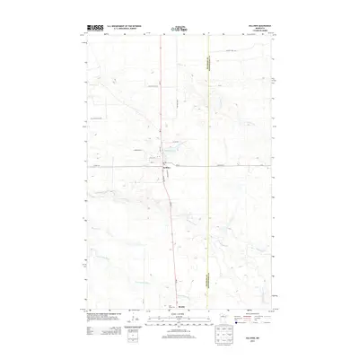
2013 Map of Kelliher
USGS Topo · Published 2013About this map
Kelliher serves as the primary hub of this northern landscape, situated at the intersection of MN-72 and Co Hwy-36. The town's grid is clearly defined by local thoroughfares such as Lakin Ave, Clark Ave, and Railroad Ave, reflecting its historical development along the rail corridor. To the south, the smaller settlement of Shooks marks the map's southern boundary near Saint Joseph Cem.
Find a feature on this map
24 named features on this map. Tap any name to fly to it.
Don’t see what you’re looking for? This feature index may not catch every label — zoom into the map to look around manually.
Map Details
Editions of this 2013 Kelliher Map
This is the sole edition of this map. No revisions or reprints were ever made.
Other maps of this area

1919 · Fox
USGS Topo · 1:62,500

1919 · Quiring
USGS Topo · 1:62,500

1919 · Norden
USGS Topo · 1:62,500

1919 · Bridgie
USGS Topo · 1:62,500

1924 · Bridgie
USGS Topo · 1:62,500

1954 · Bemidji
USGS Topo · 1:250,000

1954 · Roseau
USGS Topo · 1:250,000

1957 · Roseau
USGS Topo · 1:250,000

1957 · Bemidji
USGS Topo · 1:250,000

1958 · Bemidji
USGS Topo · 1:250,000