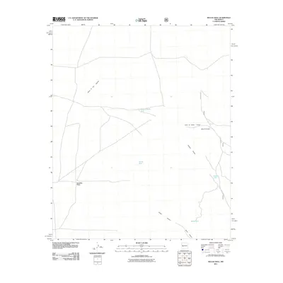
2011 Map of Kellog Well
USGS Topo · Published 2011About this map
Satathite Place stands as a focal point of human habitation within this expanse of the Plains of San Agustin. Located in the high desert of Catron County, the landscape is defined by its critical water management features, including Kellog Tank, Point of Rocks Tank, and Sargent Tank. These tanks suggest the area's ongoing importance for livestock and land management in a dry environment. The eastern half of the map is cut by a series of drainages, most notably Point of Rocks Canyon, Morine Canyon, and Sargent Canyon, which flow toward the lower elevations of Kellog Canyon and Taylor Canyon. Transportation is facilitated by the network of Forest 476 Rd and other local routes, which navigate the subtle transitions between the open plains and the canyon-cut highlands.
Find a feature on this map
13 named features on this map. Tap any name to fly to it.
Don’t see what you’re looking for? This feature index may not catch every label — zoom into the map to look around manually.
Map Details
Editions of this 2011 Kellog Well Map
This is the sole edition of this map. No revisions or reprints were ever made.
Other maps of this area

1954 · Tularosa
USGS Topo · 1:250,000

1954 · Socorro
USGS Topo · 1:250,000

1958 · Socorro
USGS Topo · 1:250,000

1958 · Tularosa
USGS Topo · 1:250,000

1962 · Socorro
USGS Topo · 1:250,000

1963 · Anderson Peak
USGS Topo · 1:24,000

1964 · Arrowhead Well
USGS Topo · 1:24,000

1964 · Bay Buck Peaks
USGS Topo · 1:24,000

1964 · Monica Saddle
USGS Topo · 1:24,000

1965 · Oak Peak
USGS Topo · 1:24,000