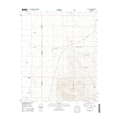
2013 Map of Kellog Well
USGS Topo · Published 2013About this map
Satathite Place sits at the edge of the Plains of San Agustin, marking a transition from the level basin floor into the foothills of the Cibola National Forest. This 2013 landscape is defined by its water management features, including Kellog Well, Kellog Tank, and Point of Rocks Tank, which support the high-desert livestock economy of the region. The map tracks the jagged eastern boundary between Catron and Socorro counties, where the terrain rises sharply from the plains into a series of drainages like Morine Canyon and Kellog Canyon. State Route 52 and NM-52 provide the primary transit through this area, which remains largely characterized by open range and public forest land.
Find a feature on this map
16 named features on this map. Tap any name to fly to it.
Don’t see what you’re looking for? This feature index may not catch every label — zoom into the map to look around manually.
Map Details
Editions of this 2013 Kellog Well Map
This is the sole edition of this map. No revisions or reprints were ever made.
Other maps of this area

1954 · Tularosa
USGS Topo · 1:250,000

1954 · Socorro
USGS Topo · 1:250,000

1958 · Socorro
USGS Topo · 1:250,000

1958 · Tularosa
USGS Topo · 1:250,000

1962 · Socorro
USGS Topo · 1:250,000

1963 · Anderson Peak
USGS Topo · 1:24,000

1964 · Arrowhead Well
USGS Topo · 1:24,000

1964 · Bay Buck Peaks
USGS Topo · 1:24,000

1964 · Monica Saddle
USGS Topo · 1:24,000

1965 · Oak Peak
USGS Topo · 1:24,000