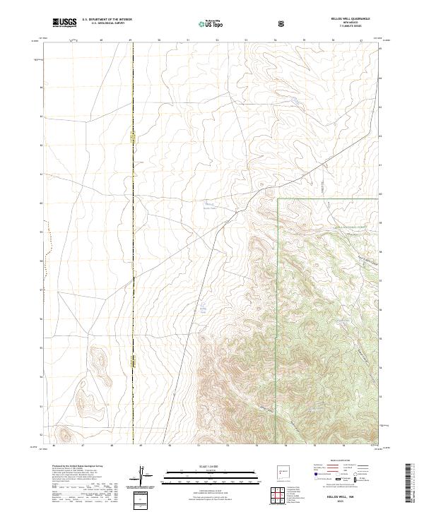
2023 Map of Kellog Well
USGS Topo · Published 2023About this map
Cibola National Forest dominates the southeastern quadrant of this terrain, where a series of deep drainages including Kellog Canyon and Taylor Canyon carve into the high ground. The arid landscape is defined by its water management features, notably Kellog Tank and Point of Rocks Tank, which serve as vital landmarks in a region where natural springs are scarce. Straddling the administrative boundary of Catron and Socorro counties, the area is characterized by dramatic elevation changes and geological formations like Point of Rocks Canyon and Sargent Canyon. Transportation is limited to rugged routes such as Forest 476 Rd, reflecting the remote and undeveloped nature of this New Mexico high-country environment.
Find a feature on this map
11 named features on this map. Tap any name to fly to it.
Don’t see what you’re looking for? This feature index may not catch every label — zoom into the map to look around manually.
Map Details
Editions of this 2023 Kellog Well Map
This is the sole edition of this map. No revisions or reprints were ever made.
Other maps of this area

1954 · Tularosa
USGS Topo · 1:250,000

1954 · Socorro
USGS Topo · 1:250,000

1958 · Socorro
USGS Topo · 1:250,000

1958 · Tularosa
USGS Topo · 1:250,000

1962 · Socorro
USGS Topo · 1:250,000

1963 · Anderson Peak
USGS Topo · 1:24,000

1964 · Arrowhead Well
USGS Topo · 1:24,000

1964 · Bay Buck Peaks
USGS Topo · 1:24,000

1964 · Monica Saddle
USGS Topo · 1:24,000

1965 · Oak Peak
USGS Topo · 1:24,000