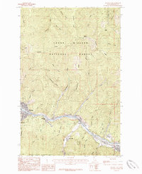
1985 Map of Kellogg East
USGS Topo · Published 1985About this map
The South Fork Coeur d'Alene River valley serves as the primary industrial and residential corridor for Shoshone County in the mid-1980s. Major settlements including Kellogg, Wardner, and Osburn line the river, reflecting a landscape deeply shaped by the regional mining economy. Evidence of this heritage is visible in the extensive Tailings area near Shont and the various gulches like Gold Run Gulch and Slaughterhouse Gulch that drain into the valley.
Find a feature on this map
43 named features on this map. Tap any name to fly to it.
Don’t see what you’re looking for? This feature index may not catch every label — zoom into the map to look around manually.
Map Details
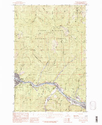
Editions of this 1985 Kellogg East Map
2 editions found
Other maps of this area

1901 · Coeur D'Alene District
USGS Topo · 1:62,500

1903 · Coeur D'Alene District
USGS Topo · 1:62,500

1906 · Coeur D'Alene District
USGS Topo · 1:62,500

1909 · Cataldo
USGS Topo · 1:125,000

1911 · Cataldo
USGS Topo · 1:125,000

1914 · Avery
USGS Topo · 1:125,000

1917 · Avery
USGS Topo · 1:125,000

1932 · Trout Creek
USGS Topo · 1:125,000

1935 · Trout Creek
USGS Topo · 1:125,000

1936 · Trout Creek
USGS Topo · 1:125,000