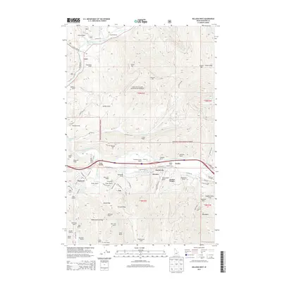
2014 Map of Kellogg West
USGS Topo · Published 2014About this map
Industrial developments and mountain ridges define this region of Shoshone County within the Coeur D'Alene National Forest. The landscape is bisected by the South Fork Coeur d'Alene River, where a string of mining-era settlements including Smelterville, Sweeney, and Bradley follow the valley floor. The map provides a detailed view of the infrastructure supporting these communities, from the Shoshone County Airport to the Bradley Siding rail connection and Railroad Ave.
Find a feature on this map
105 named features on this map. Tap any name to fly to it.
Don’t see what you’re looking for? This feature index may not catch every label — zoom into the map to look around manually.
Map Details
Editions of this 2014 Kellogg West Map
This is the sole edition of this map. No revisions or reprints were ever made.
Other maps of this area

1901 · Coeur D'Alene District
USGS Topo · 1:62,500

1903 · Coeur D'Alene District
USGS Topo · 1:62,500

1906 · Coeur D'Alene District
USGS Topo · 1:62,500

1909 · Cataldo
USGS Topo · 1:125,000

1911 · Cataldo
USGS Topo · 1:125,000

1950 · Twin Crags
USGS Topo · 1:24,000

1952 · Twin Crags
USGS Topo · 1:24,000

1955 · Spokane
USGS Topo · 1:250,000

1957 · Kingston
USGS Topo · 1:62,500

1957 · Kellogg
USGS Topo · 1:62,500