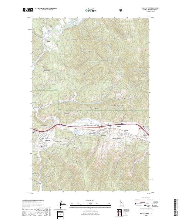
2024 Map of Kellogg West
USGS Topo · Published 2024About this map
The South Fork Coeur d'Alene River valley serves as the industrial and residential heart of this portion of Shoshone County, where a dense corridor of settlements including Smelterville, Pinehurst, and Kellogg follow the water and rail routes. This survey reveals a landscape deeply influenced by its mining history, evidenced by neighborhood names like Smelter Heights and Bradley, and the numerous gulches such as Government Gulch and Deadwood Gulch that cut into the surrounding mountains. The Trail Of The Coeur D' Alene's Trl traces the path of former rail transport, while the Shoshone County Airport and Old Hwy 10 reflect the evolution of regional infrastructure. To the north, the terrain rises into the Coeur d'Alene Mountains, characterized by more isolated outposts like Linfor and Enaville along the North Fork Coeur d'Alene River.
Find a feature on this map
105 named features on this map. Tap any name to fly to it.
Don’t see what you’re looking for? This feature index may not catch every label — zoom into the map to look around manually.
Map Details
Editions of this 2024 Kellogg West Map
This is the sole edition of this map. No revisions or reprints were ever made.
Other maps of this area

1901 · Coeur D'Alene District
USGS Topo · 1:62,500

1903 · Coeur D'Alene District
USGS Topo · 1:62,500

1906 · Coeur D'Alene District
USGS Topo · 1:62,500

1909 · Cataldo
USGS Topo · 1:125,000

1911 · Cataldo
USGS Topo · 1:125,000

1950 · Twin Crags
USGS Topo · 1:24,000

1952 · Twin Crags
USGS Topo · 1:24,000

1955 · Spokane
USGS Topo · 1:250,000

1957 · Kingston
USGS Topo · 1:62,500

1957 · Kellogg
USGS Topo · 1:62,500