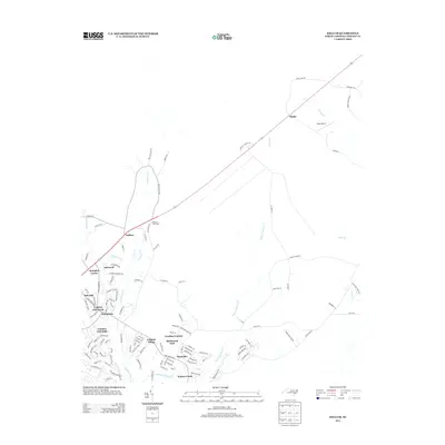
2013 Map of Kellum
USGS Topo · Published 2013About this map
Kellum and Deppe anchor this 2013 survey of the Jacksonville area, reflecting a landscape shaped by residential expansion and the winding tributaries of the New River system. The map captures a transition from older crossroads like Mortons Cross Road to organized residential developments such as Aragona Village, Birchwood Park, and Montclair. These modern neighborhoods are clustered south of the highway, while the northern reaches remain defined by the watercourses of Wolf Swamp and Starkys Cr.
Find a feature on this map
118 named features on this map. Tap any name to fly to it.
Don’t see what you’re looking for? This feature index may not catch every label — zoom into the map to look around manually.
Map Details
Editions of this 2013 Kellum Map
This is the sole edition of this map. No revisions or reprints were ever made.
Other maps of this area

1942 · Maysville
USGS Topo · 1:62,500

1942 · Swansboro
USGS Topo · 1:62,500

1943 · Jacksonville
USGS Topo · 1:62,500

1948 · Maysville
USGS Topo · 1:62,500

1948 · Swansboro
USGS Topo · 1:62,500

1948 · New River
USGS Topo · 1:62,500

1952 · Hubert
USGS Topo · 1:24,000

1952 · Camp Lejeune
USGS Topo · 1:24,000

1952 · Jacksonville South
USGS Topo · 1:24,000

1953 · Beaufort
USGS Topo · 1:250,000