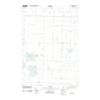
2010 Map of Kelly Lake
USGS Topo · Published 2010About this map
Kelly Lake and its surrounding glacial terrain define this portion of Marinette County, characterized by a high concentration of named water bodies and private landing strips. The landscape is interconnected by a network of local roads such as Brazeau Town Hall Rd and Parkway Rd, which serve small clusters of development around Klondike. Significant local-history landmarks include Saint Wenceslaus Cemetery and Brazeau Cemetery, which sit near the banks of McDonald Creek. The presence of the Kelly Lake Waterways 2WP 168 Dam and numerous flowages like Leigh Flowage reflect the managed water systems of the region. Small aviation fields such as Buds Landing Airport and Frievalt Airport are scattered across the northern sections, indicating the importance of private air travel in this rural landscape.
Find a feature on this map
74 named features on this map. Tap any name to fly to it.
Don’t see what you’re looking for? This feature index may not catch every label — zoom into the map to look around manually.
Map Details
Editions of this 2010 Kelly Lake Map
This is the sole edition of this map. No revisions or reprints were ever made.
Other maps of this area

1941 · Coleman
USGS Topo · 1:48,000

1942 · Coleman
USGS Topo · 1:48,000

1942 · Breed
USGS Topo · 1:48,000

1950 · Coleman
USGS Topo · 1:48,000

1952 · Mountain
USGS Topo · 1:48,000

1954 · Iron Mountain
USGS Topo · 1:250,000

1955 · Green Bay
USGS Topo · 1:250,000

1956 · Gillett
USGS Topo · 1:62,500

1956 · Oconto Falls
USGS Topo · 1:62,500

1959 · Iron Mountain
USGS Topo · 1:250,000